Aerial Photography Is Transforming Business
7 Ways Drone Aerial Photography Is Transforming Business Visualization
In today's competitive business landscape, standard photography no longer captures the full scope of what companies need to showcase. Drone aerial photography has emerged as a revolutionary tool that's changing how businesses visualize and present their operations, properties, and projects. At RD Tech Solutions, we've witnessed firsthand how this technology is creating new possibilities across industries.
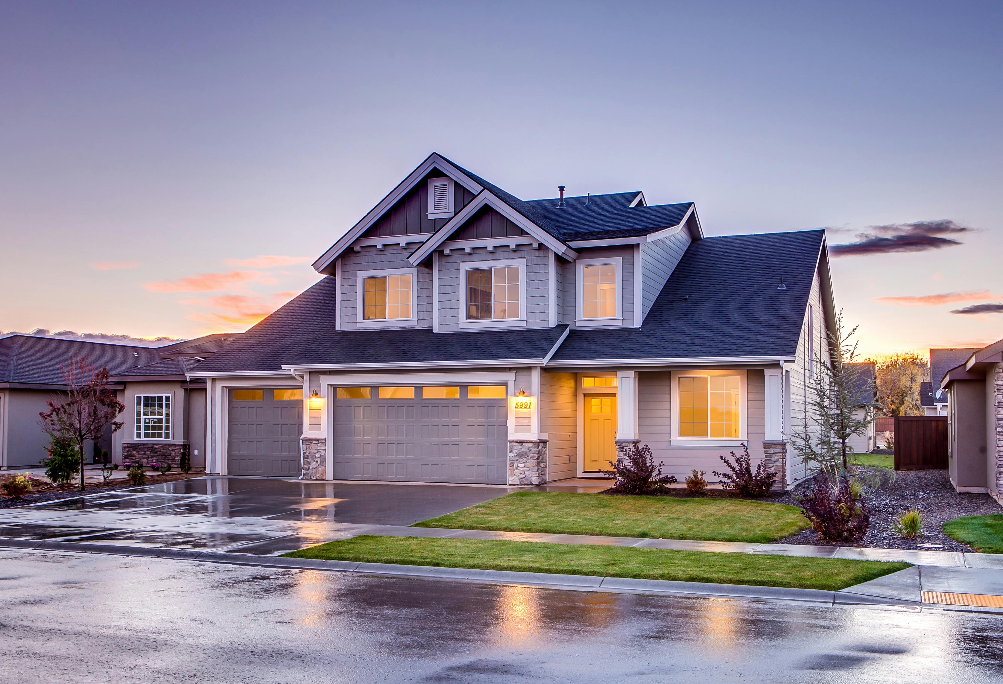
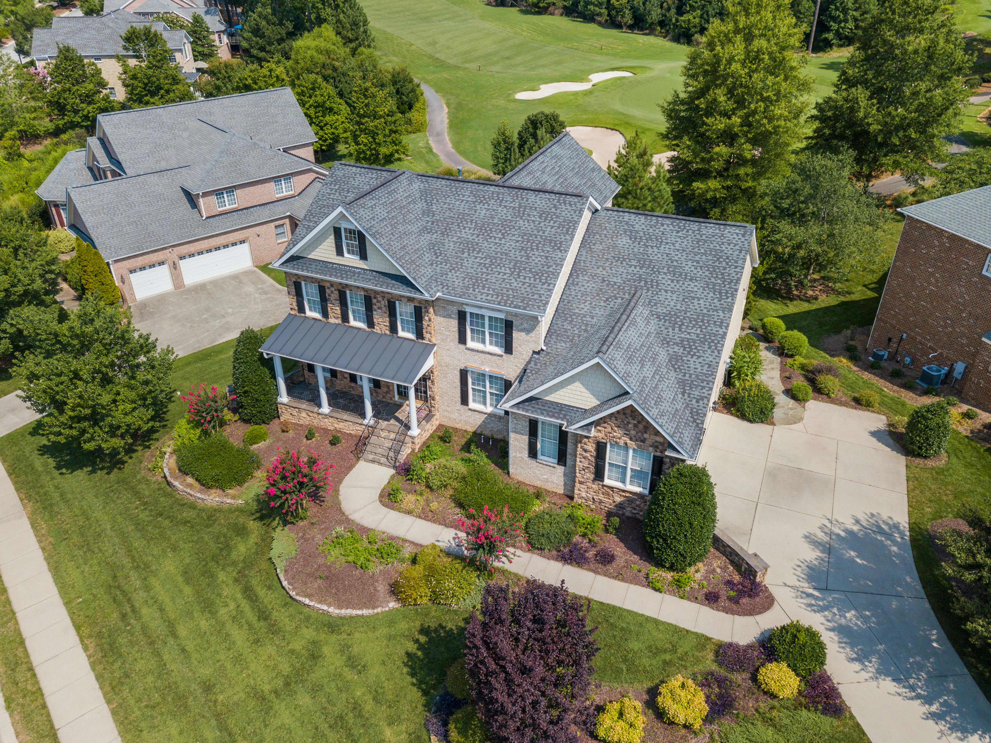
1. Real Estate Marketing Reimagined
Traditional real estate photography can only tell part of the story. Drone aerial photography provides potential buyers with comprehensive property views that were previously impossible without expensive helicopter rentals.
Key benefits include:
- Showcase the entire property footprint and boundaries
- Highlight proximity to desirable amenities and features
- Demonstrate neighborhood context and surrounding environment
- Create dramatic approach shots that build emotional connection
- Capture unique angles that stand out in crowded listing platforms
According to recent industry data, properties marketed with aerial drone photography sell up to 68% faster than those using standard photography alone.
2. Construction Progress Documentation
For construction companies and project managers, drone aerial photography has transformed progress tracking and client communication.
How it works:
- Establish consistent flight paths for reliable timeline documentation
- Capture comprehensive site views at regular intervals
- Document milestone completions with striking visual evidence
- Create time-lapse sequences showing dramatic transformation
- Provide stakeholders with clear visualization of ongoing work
These capabilities don't just improve communication—they create accountability, reduce disputes, and provide valuable documentation for future reference.
3. Insurance Claim Assessment and Risk Management
Insurance companies have embraced drone technology to revolutionize both risk assessment and claims processing workflows.
Applications include:
- Pre-policy aerial documentation of property condition
- Post-disaster rapid damage assessment without risk to personnel
- Comprehensive roof and structural inspections
- Documentation of inaccessible areas following natural disasters
- Fraud prevention through detailed visual records
This approach reduces assessment time from days to hours while improving accuracy and safety.
4. Agricultural Monitoring and Management
Modern farmers are leveraging drone aerial photography to transform how they monitor crops and manage resources.
Capabilities include:
- Early identification of pest infestations or disease
- Monitoring irrigation effectiveness across large areas
- Identifying drainage issues affecting crop health
- Assessing storm damage quickly for insurance claims
- Creating marketing materials for farm-to-table businesses
These insights help agricultural operations optimize resource allocation and reduce waste.
5. Event Marketing and Documentation
From festivals to corporate events, drone aerial photography provides unique perspectives that standard event photography cannot match.
Benefits include:
- Capturing true scale and attendance at large gatherings
- Creating dramatic promotional material for future events
- Documenting site layout for planning improvements
- Providing sponsors with comprehensive brand visibility metrics
- Creating engaging social media content that drives engagement
These capabilities help event organizers demonstrate value and improve future experiences.
6. Infrastructure Inspection and Maintenance
For utilities and infrastructure managers, drone aerial photography has dramatically reduced inspection costs while improving safety.
Applications include:
- Power line and transmission tower inspection
- Bridge and road surface assessment
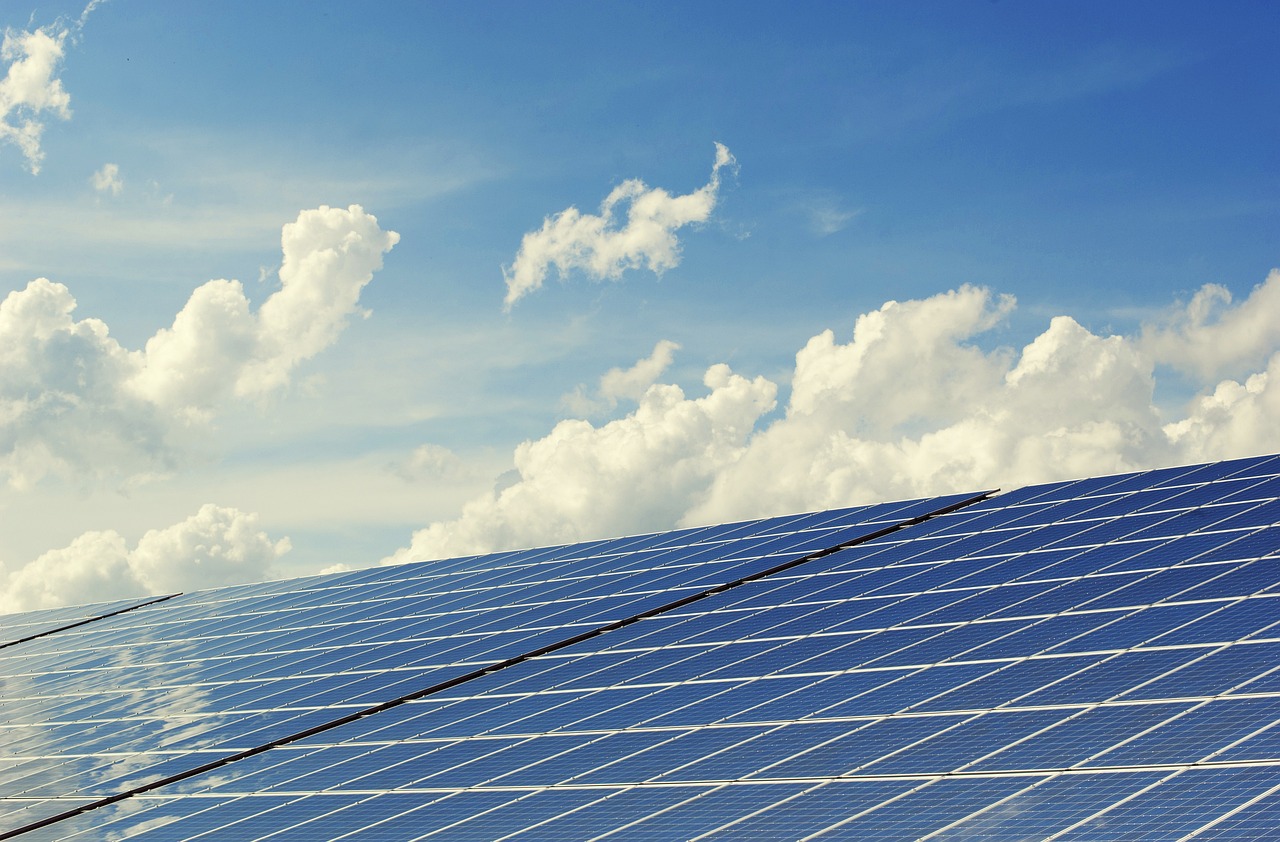
- Solar panel array inspection and maintenance planning
- Cell tower structural evaluation
- Pipeline corridor monitoring and leak detection
This approach eliminates the need for dangerous manual inspections while providing more comprehensive documentation.
7. Environmental Monitoring and Conservation
Environmental organizations and researchers have embraced drone technology to transform how they monitor ecosystems and track changes.
Key applications:
- Tracking erosion and coastal changes over time
- Monitoring wildlife populations with minimal disturbance
- Documenting habitat changes and restoration progress
- Assessing flood impact and watershed management
- Creating compelling visual narratives for fundraising efforts
These capabilities help organizations protect natural resources more effectively with limited budgets.
The RD Tech Solutions Advantage
At RD Tech Solutions, we provide comprehensive drone aerial photography services customized to your specific business needs. Our licensed drone operators combine technical expertise with creative vision to deliver stunning imagery that serves your business objectives.
Our services include:
- High-resolution aerial photography: Crystal-clear images that showcase your property or project from optimal angles
- 4K aerial videography: Dynamic footage that brings your business to life
- Orthomosaic mapping: Precise aerial maps with measurement capabilities
- 3D modeling: Detailed three-dimensional representations of structures and terrain
Why Choose Professional Drone Services?
While consumer drones have become more accessible, professional drone aerial photography offers significant advantages:
- FAA compliance and insurance: Our operations are fully licensed, insured, and compliant with all regulations
- Advanced equipment: We utilize enterprise-grade drones with superior image quality and flight capabilities
- Post-processing expertise: Our team enhances and optimizes all imagery for maximum impact
- Consistent quality: Weather considerations, lighting optimization, and technical knowledge ensure reliable results
- Safety focus: Comprehensive flight planning and risk assessment for incident-free operations
Ready to Elevate Your Business Visualization?
Contact RD Tech Solutions today to discuss how our drone aerial photography services can transform how you showcase your business, document projects, or gather critical data. Our consultation process ensures we understand your specific needs and deliver exactly what your business requires.
Keywords: drone aerial photography, business visualization, aerial imagery, drone services, commercial drone applications, aerial mapping, construction documentation, property marketing