Drone Mapping & Surveying
Accurate, detailed, and cost-effective aerial mapping solutions for your projects.
Our Mapping Services
We offer comprehensive drone mapping and surveying services for various industries and applications.
Topographic Mapping
Create detailed topographic maps with accurate elevation data for land development, construction planning, and environmental studies.
Property Surveys
Aerial property surveys provide comprehensive views of property boundaries, features, and conditions for real estate transactions and development planning.
GIS Data Collection
Gather geospatial data for Geographic Information Systems (GIS) to support urban planning, infrastructure management, and environmental monitoring.
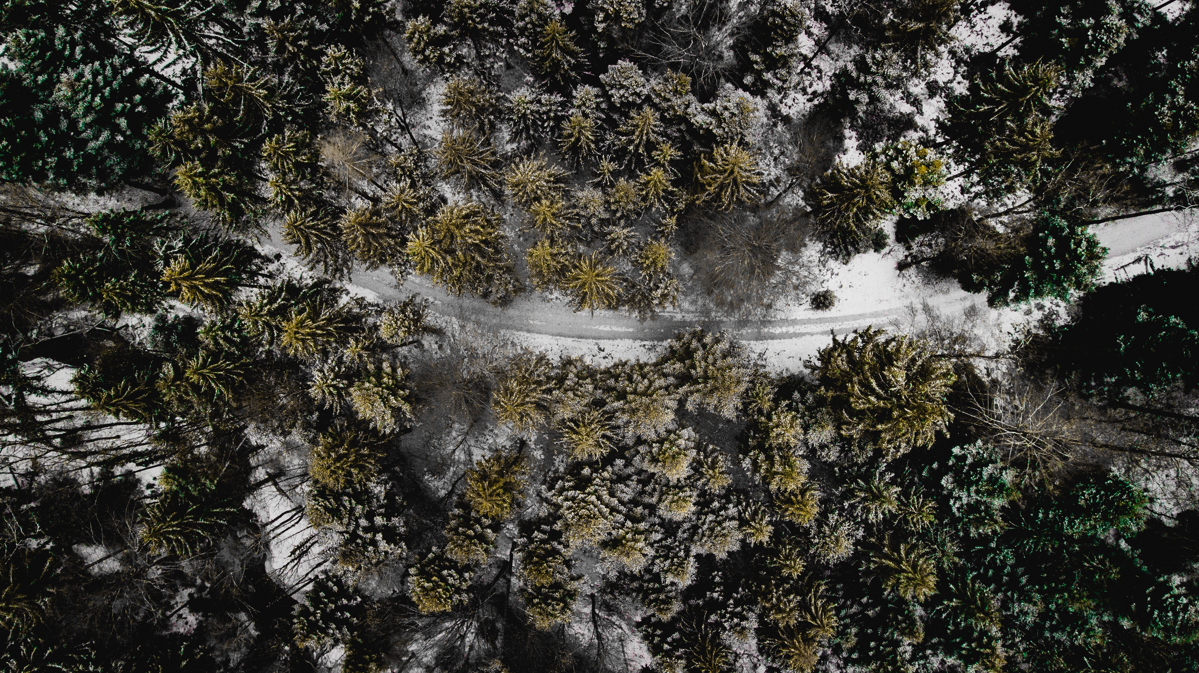
Orthomosaic Mapping
Create high-resolution orthomosaic maps by stitching together aerial images to provide detailed, accurate representations of large areas.
Mapping Deliverables
We provide a range of high-quality mapping products to meet your specific needs.
Orthomosaic Maps
High-resolution aerial images stitched together to create a detailed, accurate map with consistent scale throughout.
Digital Elevation Models
3D representations of terrain surfaces showing elevation data for accurate topographic analysis.
Contour Maps
Detailed contour maps showing elevation changes and terrain features for precise land analysis and planning.
3D Models
Detailed three-dimensional models of terrain and structures for visualization and analysis.
Volumetric Calculations
Accurate measurements of stockpile volumes, cut and fill quantities, and earthwork calculations.
GIS Data
Georeferenced data compatible with Geographic Information Systems for integration with existing datasets.
Our Mapping Process
We follow a structured approach to ensure accurate and reliable mapping results.
Consultation
We discuss your project requirements and desired outcomes.
Flight Planning
We develop a detailed flight plan and obtain necessary permissions.
Data Collection
Our pilots capture high-resolution aerial imagery of the target area.
Data Processing
We process the raw data using specialized software to create accurate maps.
Delivery
We deliver the final mapping products in your preferred format.
Advanced Mapping Technology
We utilize state-of-the-art drone technology and specialized software to deliver accurate mapping results.
- Professional-grade mapping drones with RTK/PPK capabilities
- High-resolution cameras for detailed imagery
- Specialized photogrammetry software for accurate data processing
- Ground control points for enhanced accuracy
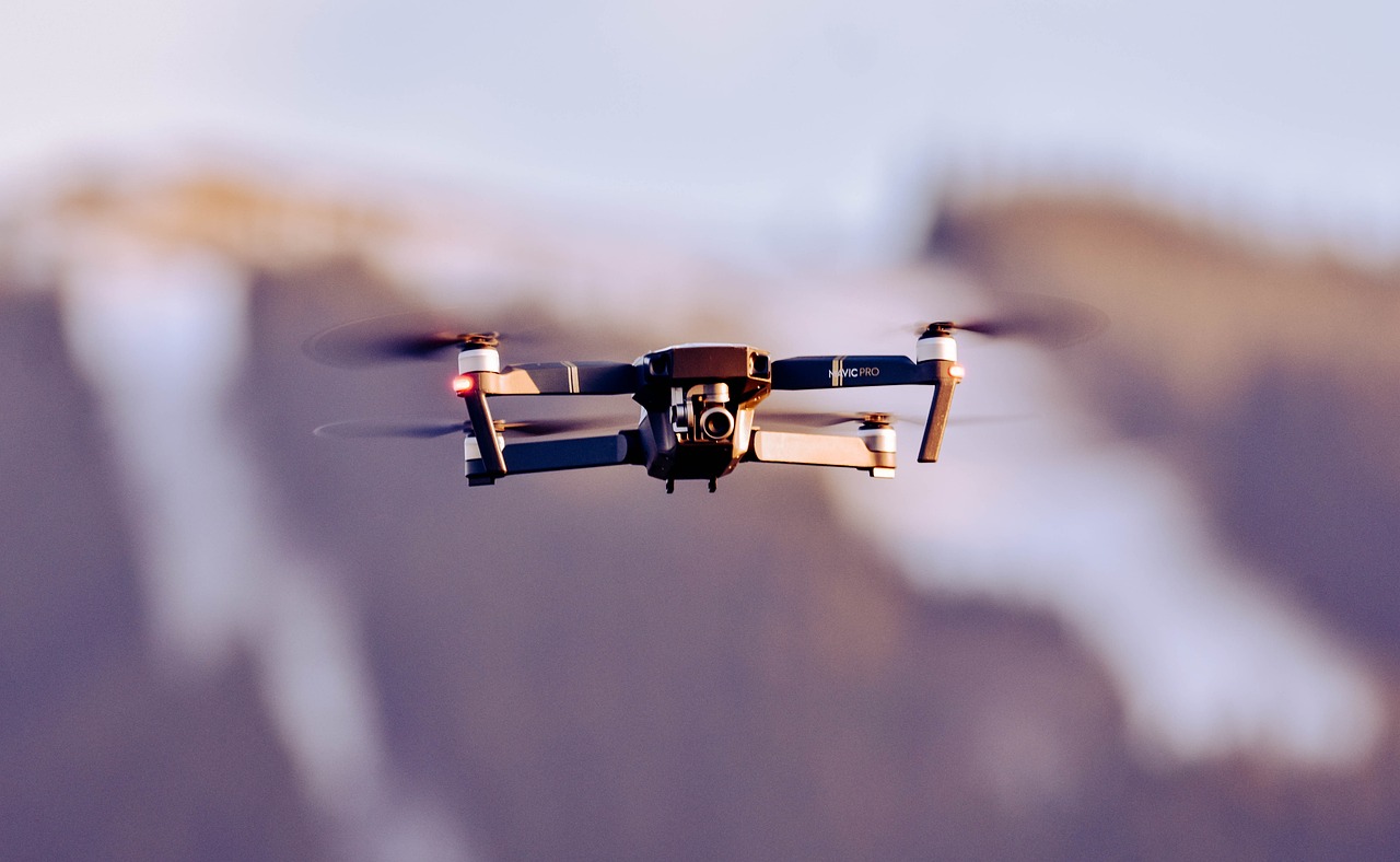
Advanced Mapping Technology
State-of-the-art equipment for precise aerial mapping
Ready to Start Your Mapping Project?
Contact us today to discuss your mapping needs and discover how our drone services can provide accurate data for your project.